
GIS & CartographyJun 10, 2026
Getting Started with QGIS: A Beginner's Guide
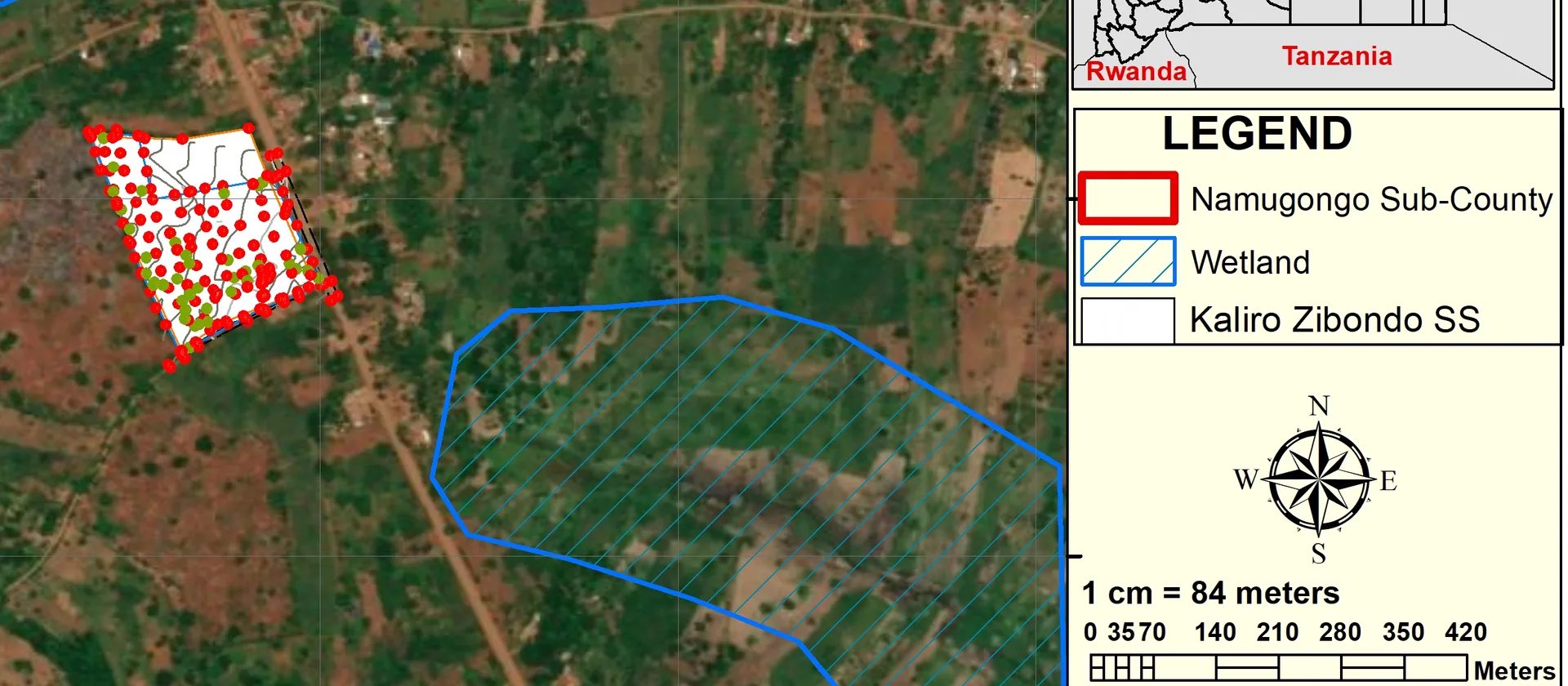
Learn how to install QGIS, load your first dataset and produce a publication-ready map in under an hour.
Read more 2 min
Practical articles, tutorials and insights on GIS, cartography, remote sensing and spatial data.
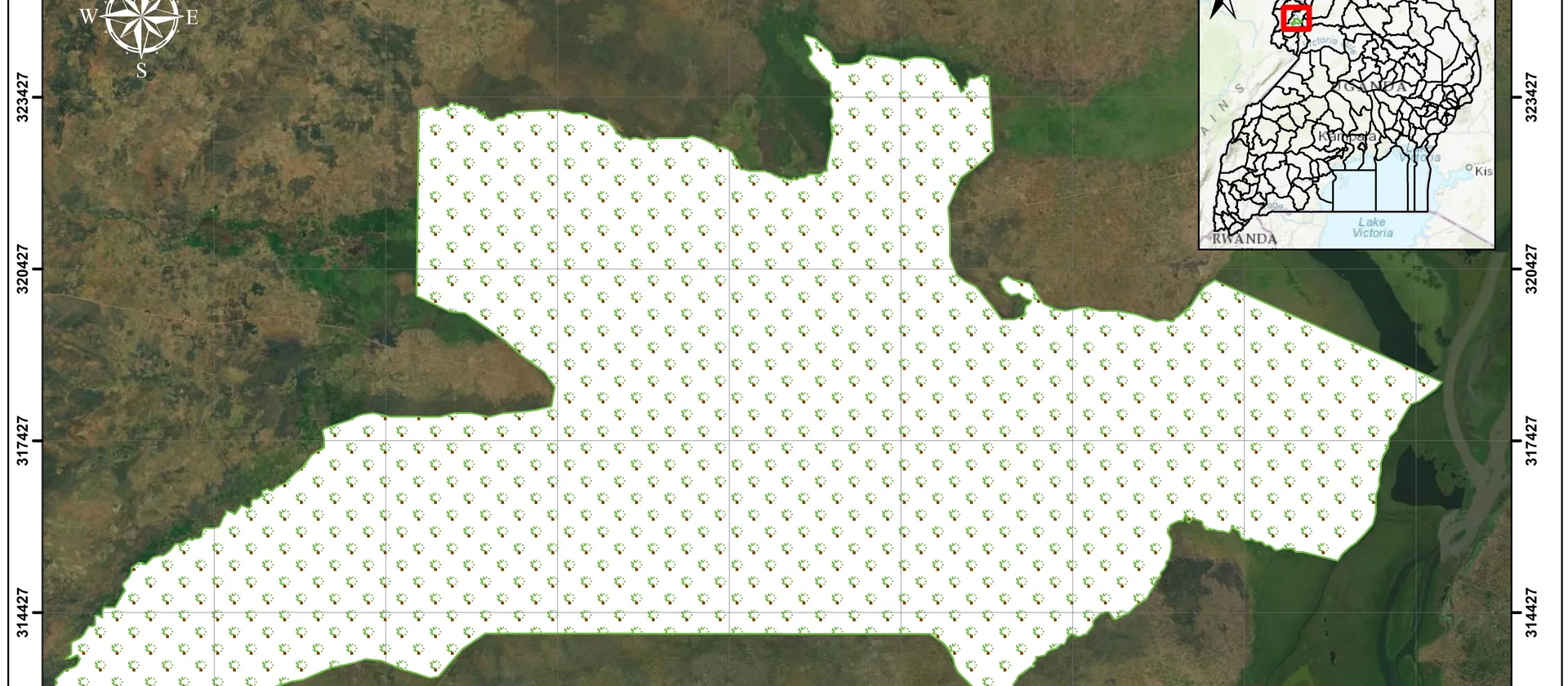
Good maps communicate clearly. These five principles will help you design maps that are accurate, readable and visually compelling.
Read articleLearn how to install QGIS, load your first dataset and produce a publication-ready map in under an hour.
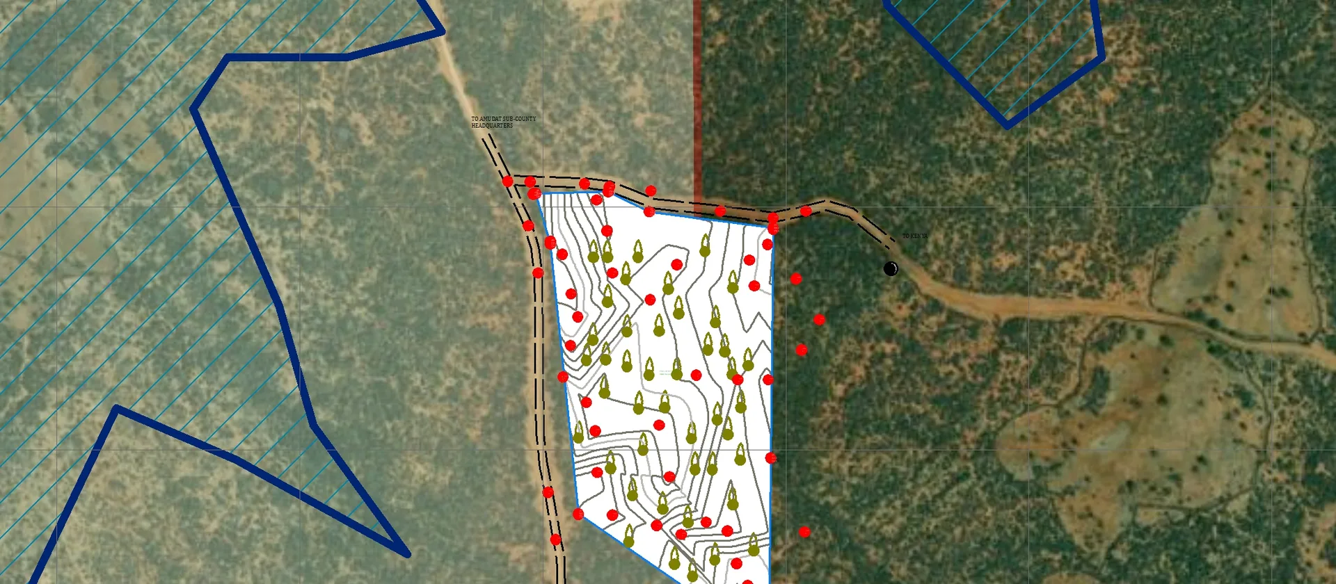
Practical tips for planning, executing and quality-checking a GPS field survey to ensure your spatial data is accurate and ready for analysis.
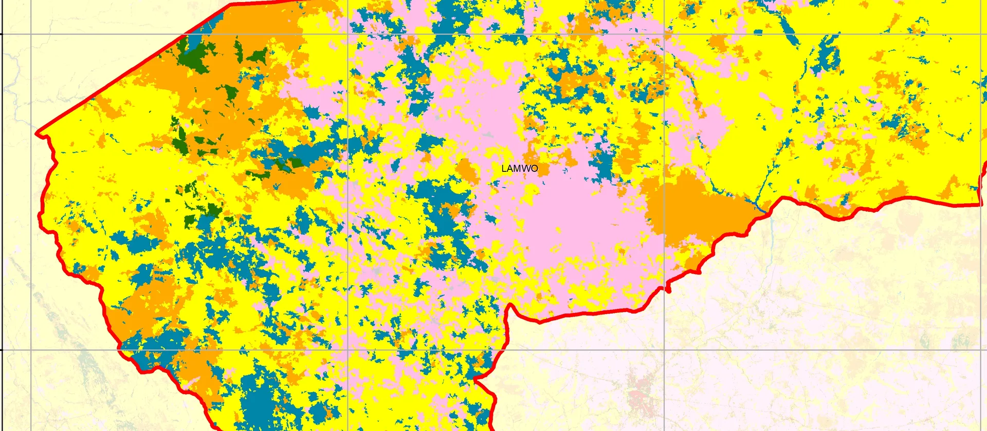
A practical walkthrough for classifying land cover from freely available Sentinel-2 imagery using QGIS and the Semi-Automatic Classification Plugin.