
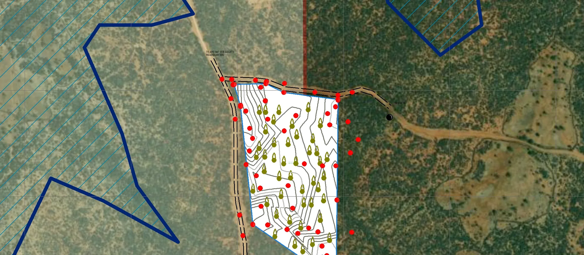
Reliable field data is the foundation of any credible GIS project. Errors introduced during collection are expensive to fix later — and sometimes impossible to correct without returning to the field. These best practices will help you plan and execute a GPS survey that produces clean, analysis-ready data from the start.
The cost of fixing a data collection error in the office is roughly ten times the cost of preventing it in the field. Invest in planning and quality checks before you leave.
Plan before you go
Define the features you need to capture, the attributes for each feature type and the acceptable positional accuracy before fieldwork begins. Prepare a data dictionary in your mobile app — ODK Collect, Survey123 or QField are all suitable — so that attribute fields, validation rules and pick-lists are ready when you arrive on site. Share the data dictionary with all field staff and run a short briefing to confirm everyone understands the collection protocol.
Check satellite geometry
Use a GNSS planning tool to identify windows of good satellite geometry (low PDOP) for your collection dates and location. Avoid collecting under dense tree canopy or near tall buildings where multipath errors are likely. If your receiver supports SBAS correction (WAAS, EGNOS or MSAS), enable it to improve accuracy without additional hardware.
Choose the right equipment
A sub-metre GNSS receiver is appropriate for most mapping tasks — infrastructure inventory, land-use surveys and environmental monitoring. For cadastral or engineering work where centimetre accuracy is required, use a survey-grade receiver with real-time kinematic (RTK) correction from a base station or a network correction service.
Collect consistently
Use the same collection method for every feature of the same type. If you are averaging positions, use the same number of epochs for every point. Record attributes immediately after collection — do not rely on memory at the end of the day. Photograph each feature if your workflow supports it; photos are invaluable for resolving ambiguities during office processing.
Quality-check in the field
Review collected points on your mobile device before leaving a site. Check that positions plot in the expected location against a basemap, that all required attributes are filled and that no obvious outliers are present. It is far cheaper to re-collect a missed or incorrect feature while you are still on site than to return later.
Back in the office
Import data into QGIS or ArcGIS and run a topology check to identify gaps, overlaps or duplicate features. Compare collected points against a reference layer or recent satellite imagery to identify obvious positional errors. Document any corrections made and retain the original raw data alongside the corrected version for traceability.
Have a mapping challenge?
Let's turn your spatial data into an accurate, useful and visually compelling map.