Maps That Tell Powerful Stories
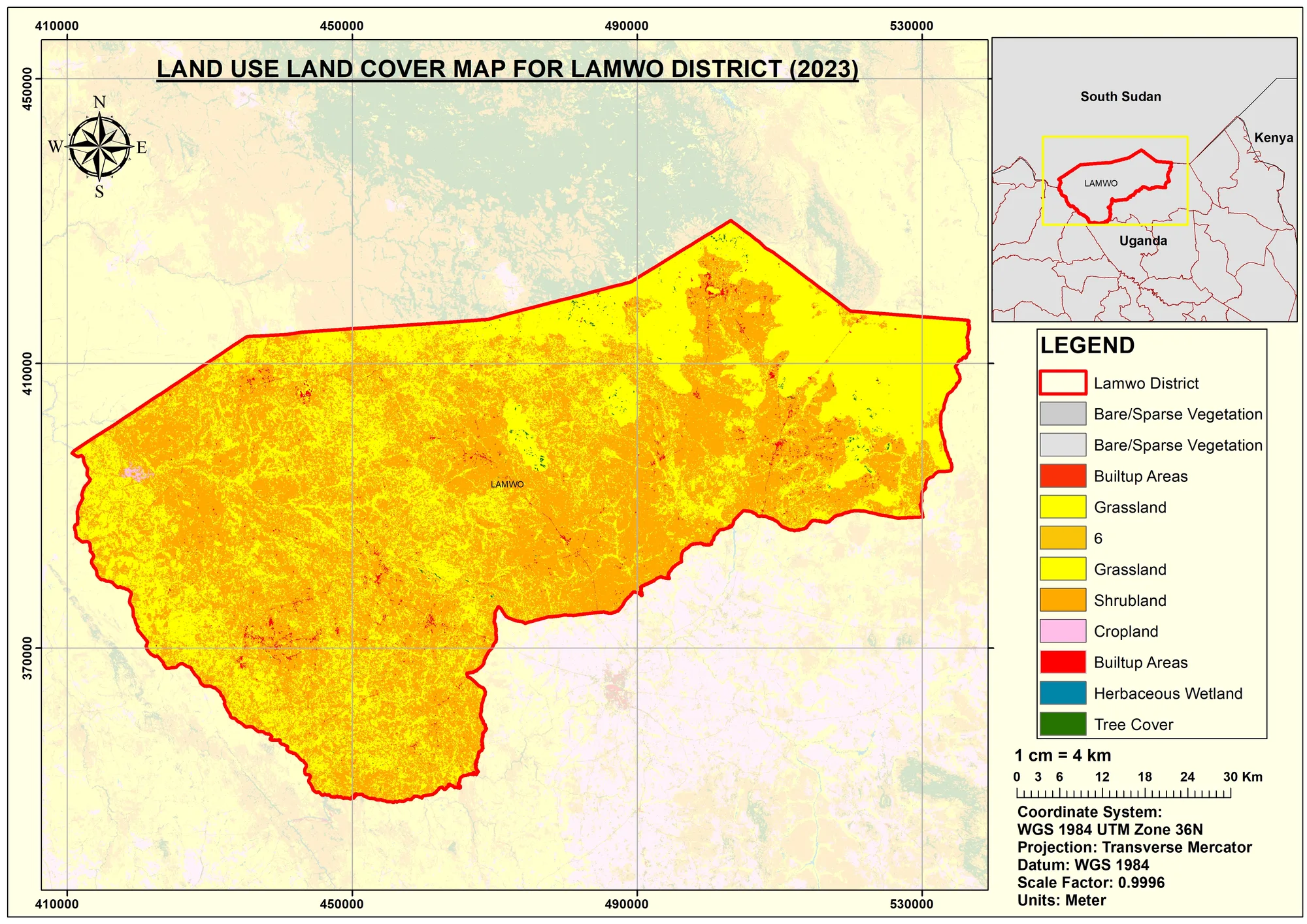
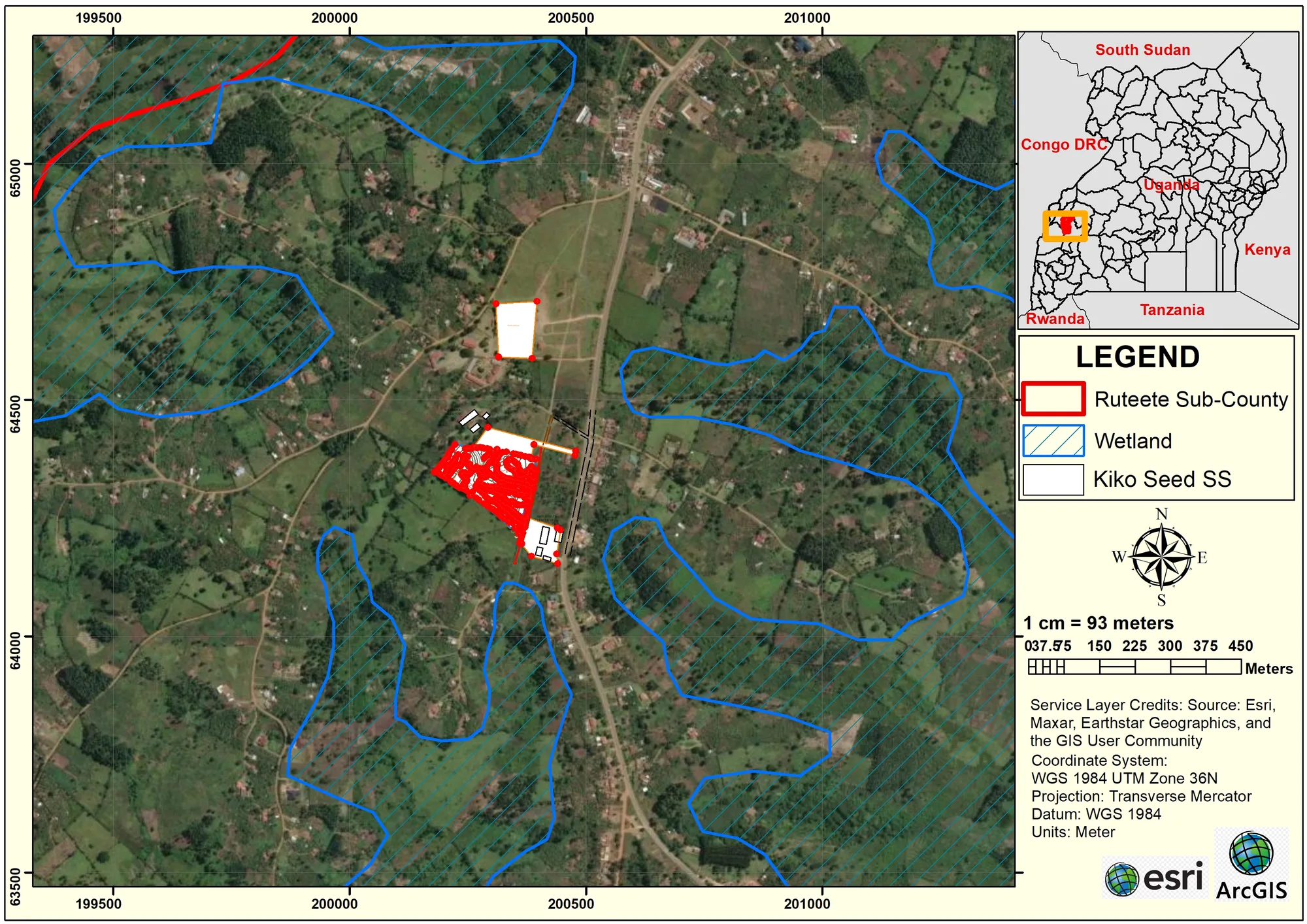
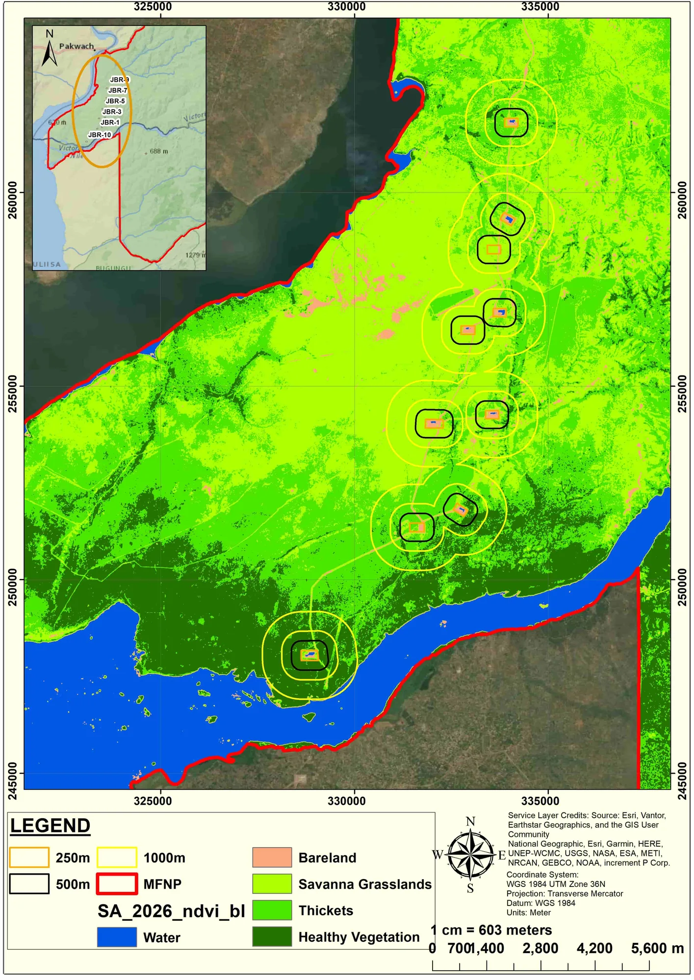
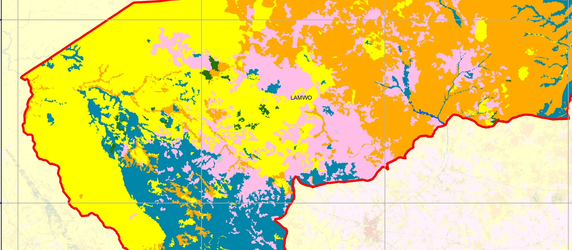
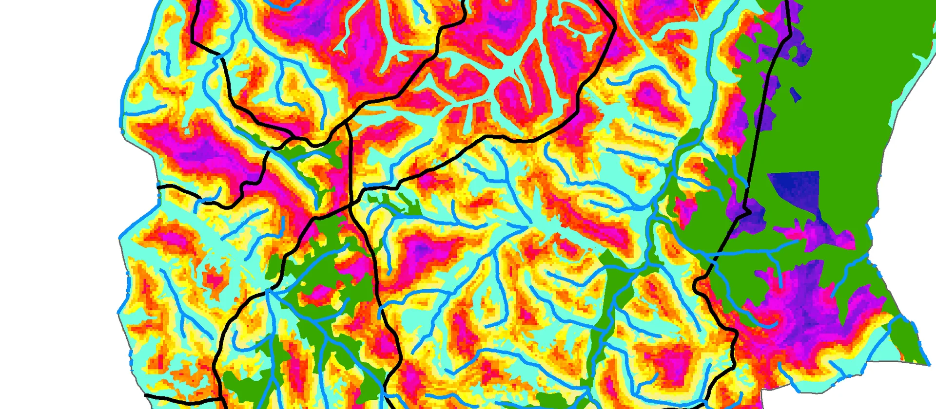
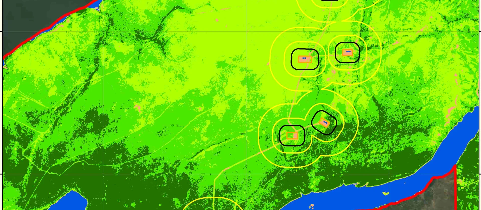
Professional GIS and Cartography services for researchers, organizations, businesses and government.
What We Do
Our Services
End-to-end GIS and cartography services — from raw data to polished, impactful maps.
Professional GIS and Cartography services for researchers, organizations, businesses and government.
What We Do
End-to-end GIS and cartography services — from raw data to polished, impactful maps.