
Spatial Analysis & Earth Observation
Spatial Analysis
Turn geographic data into evidence you can act on.
Overview
About this Service
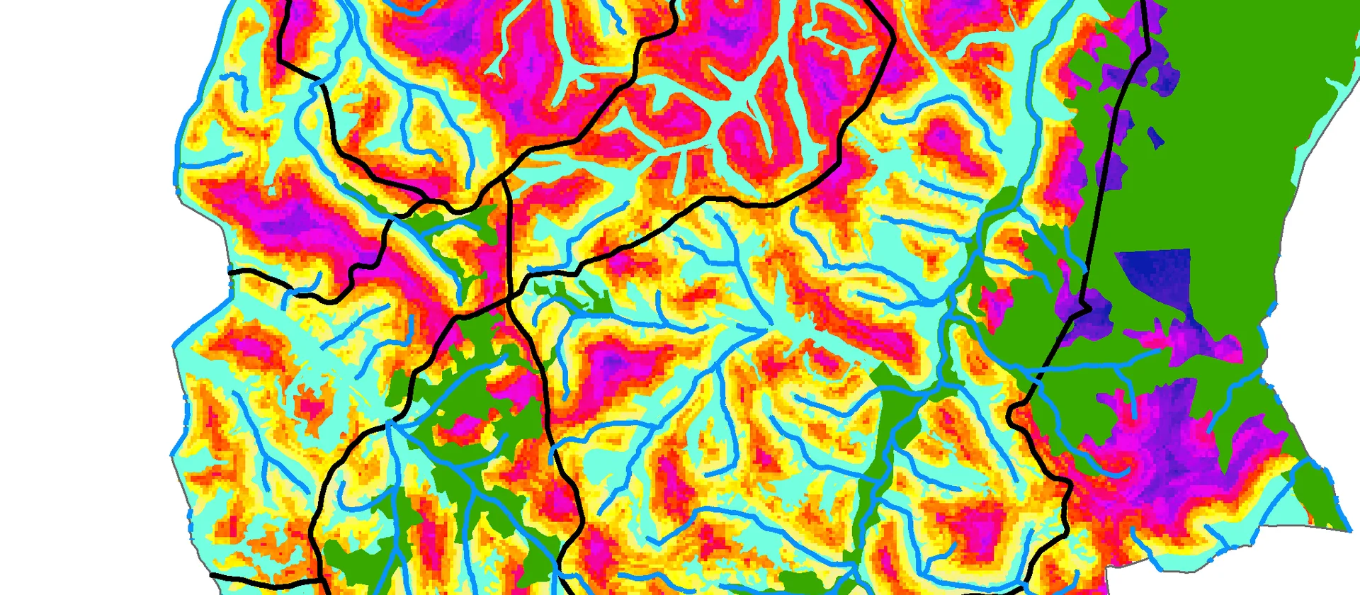
We analyze geographic relationships, patterns and trends to turn complex spatial datasets into practical evidence for decision-making.
What's Included
Capabilities & Deliverables
A focused set of capabilities and deliverables tailored to your project.
Capabilities
Proximity and suitability analysis
Evaluate access, constraints and suitable locations using defensible spatial criteria.
Pattern and hotspot analysis
Identify clusters, distributions and geographic relationships within your data.
Deliverables
Decision-ready findings
Receive clear maps, tables and explanations that connect analysis to practical decisions.
Get Started
Ready to map your next project?
Tell us what you're working on and we'll recommend the right GIS or mapping approach for your needs.
Accurate spatial dataFast turnaroundTailored to your needsExpert GIS support