Spatial Analysis & Earth Observation
Remote Sensing
Understand change on the ground through satellite imagery.
Overview
About this Service
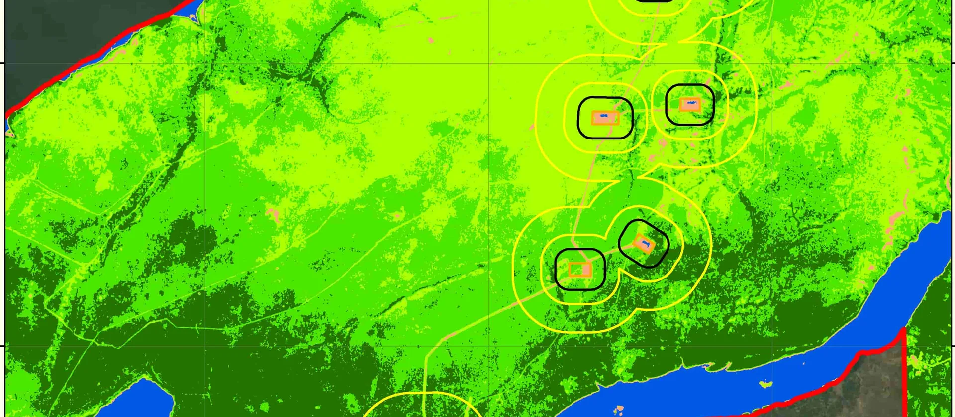
We process and interpret satellite imagery for land-cover classification, change detection and environmental monitoring.
What's Included
Capabilities & Deliverables
A focused set of capabilities and deliverables tailored to your project.
Capabilities
Land-cover classification
Convert satellite imagery into consistent land-use and land-cover information.
Change detection
Compare imagery across time to measure environmental, settlement or infrastructure change.
Deliverables
Monitoring maps and statistics
Receive mapped results, summary statistics and documented processing methods.
Get Started
Ready to map your next project?
Tell us what you're working on and we'll recommend the right GIS or mapping approach for your needs.
Accurate spatial dataFast turnaroundTailored to your needsExpert GIS support