
GIS Reporting & Mapping for Studies
Professional spatial evidence for studies and technical reports.
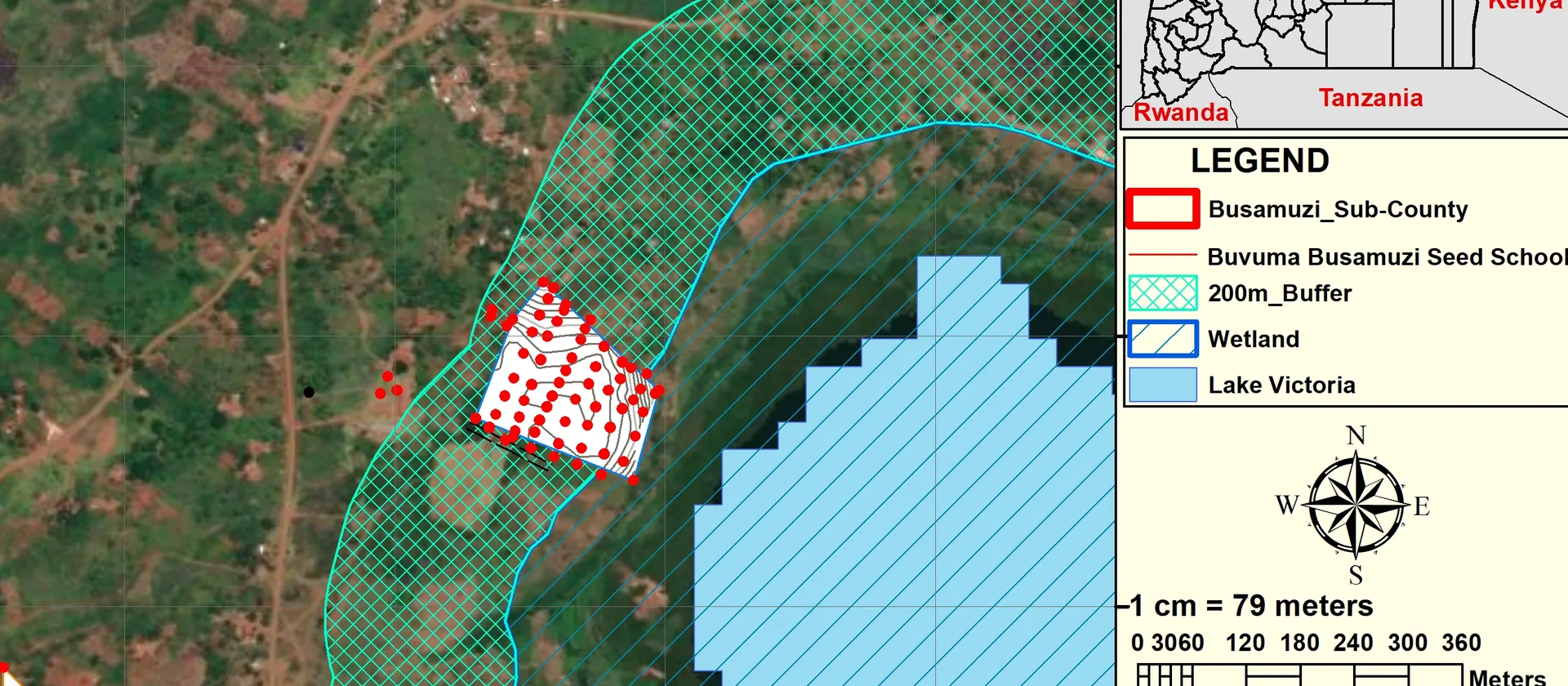
Overview
About this Service
We prepare publication-ready maps, spatial findings and supporting outputs for environmental, planning, research and feasibility studies.
What's Included
Capabilities & Deliverables
A focused set of capabilities and deliverables tailored to your project.
Study-specific spatial analysis
Apply mapping and analysis methods suited to environmental, planning, research or feasibility requirements.
Report-ready figures
Consistent, high-quality maps formatted for direct inclusion in professional reports.
Supporting spatial documentation
Clear methods, data notes and findings that strengthen the traceability of your study.
Get Started
Ready to map your next project?
Tell us what you're working on and we'll recommend the right GIS or mapping approach for your needs.