Field Data & Information Management
Data Collection (GPS)
Capture reliable field data with a workflow built for accuracy.
Overview
About this Service
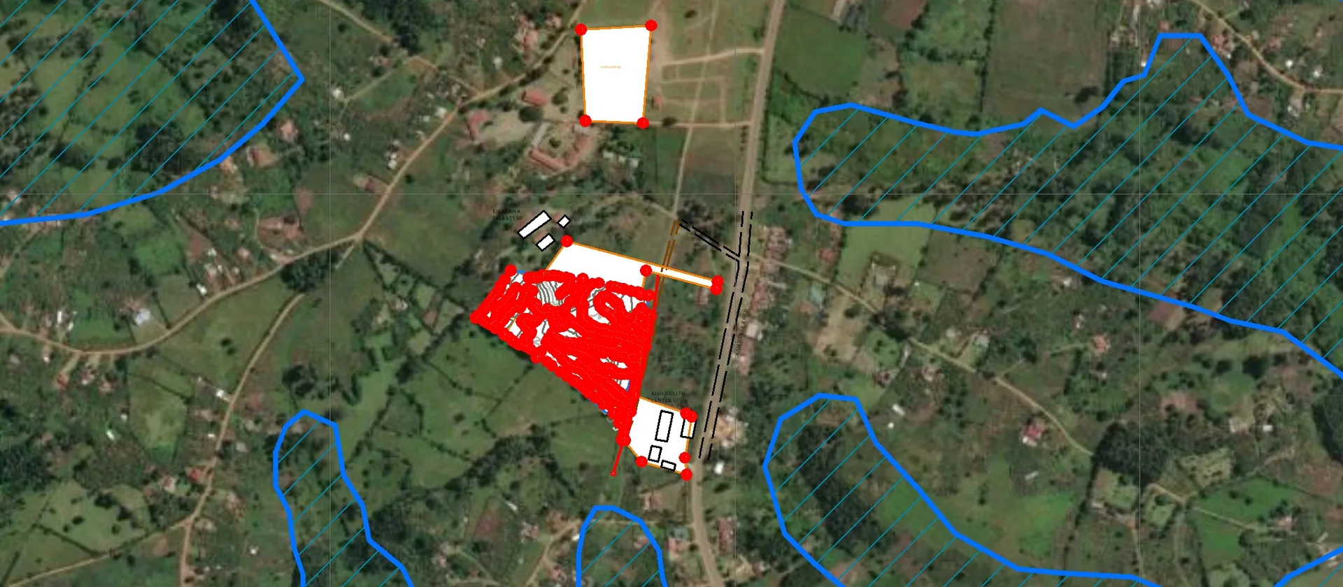
We plan and support structured field-data collection workflows using GPS receivers and mobile mapping applications.
What's Included
Capabilities & Deliverables
A focused set of capabilities and deliverables tailored to your project.
Capabilities
Field survey planning
Define locations, attributes, validation rules and collection procedures before fieldwork begins.
Deliverables
Clean mapped datasets
Receive checked, structured and documented spatial data ready for analysis or reporting.
Technologies
GPS and mobile data capture
Use suitable GPS receivers and mobile mapping tools for efficient, consistent collection.
Get Started
Ready to map your next project?
Tell us what you're working on and we'll recommend the right GIS or mapping approach for your needs.
Accurate spatial dataFast turnaroundTailored to your needsExpert GIS support